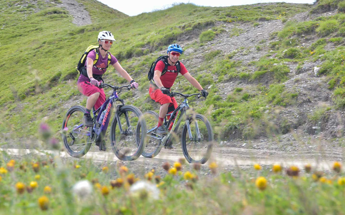
The Strada dell’Assietta - a military ridge located entirely over 2000m above sea level that used to connect the various high-altitude forts, with a journey of 60km between Sestriere and the Colle delle Finestre - offers up some breath-taking views over the Susa and Chisone valleys. We depart from the Salbertrand railway station and quickly reach the entrance to the Gran Bosco Natural Park and a dirt track immersed in the woods. A climb that is demanding in stretches leads us to Colle Blegier, access point to the Strada dell’Assietta; we continue towards Sestriere: the route is technically simple with some demanding climbs, but the altitude and travel distance require proficient training and a self-supply of equipment as there are no resting points or refuges along this stretch. The route ends in Sestriere: here, on a descent on asphalt you can reach Oulx to catch a train (equipped for bike transport) back to the departure point.
Italy
Italy
